Hello everyone, this is Ando!
Recently, I embarked on a hiking adventure from the Sensuikyo parking lot, taking on the breathtaking trails of Takadake and Nakadake.
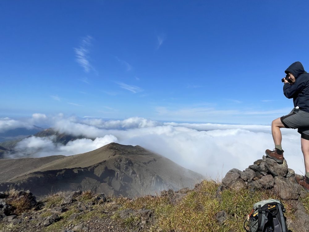
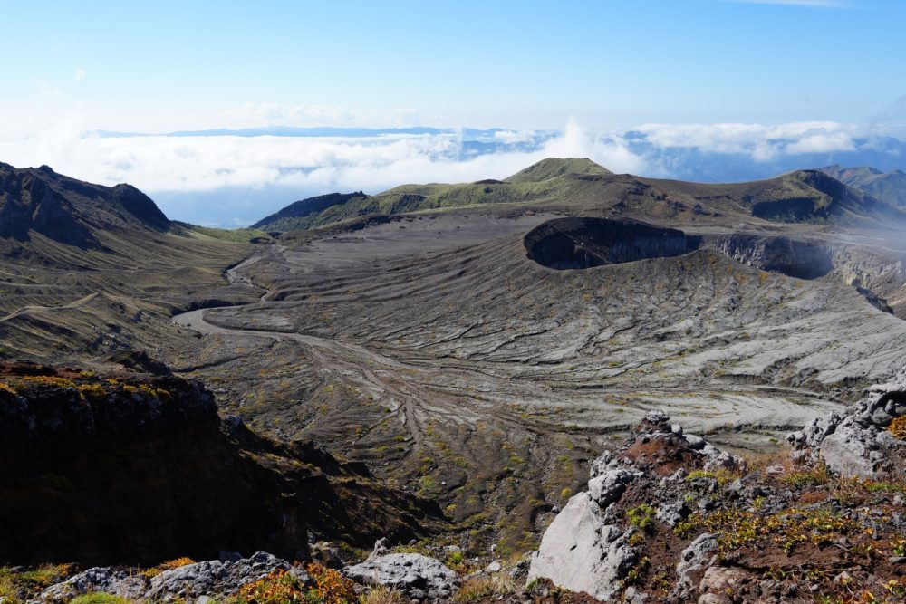
Although we started off under cloudy skies, we were rewarded at the summit with a stunning sea of clouds that was simply magical!
Join me as we explore the beauty of Aso’s mountains together! Let’s get out there and make some unforgettable memories! ✨
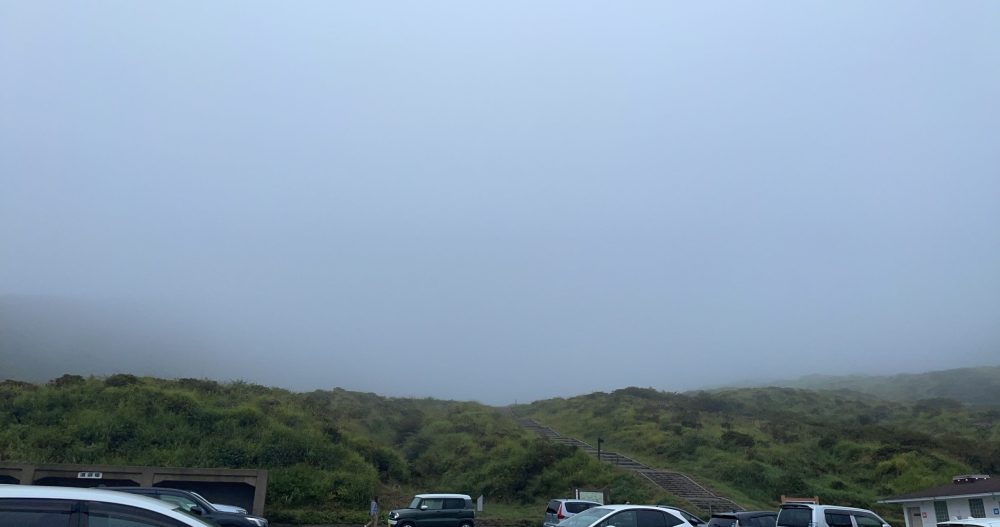
7:30 AM @ Sensuikyo Parking Lot
The parking lot is spacious, so you can park without any worries. On this particular morning, the mountains were shrouded in thick mist, making visibility nearly nonexistent. To ensure a safe journey, I carefully checked the hiking routes and hazardous areas on YAMAP, a popular Japanese hiking app that provides information about mountains and trails.
Please note that there is no bus service to Sensuikyo, so if you’re relying on public transportation, you’ll need to walk from Miyaji Station. That’s an additional 6.4 km (with a 400 m elevation gain), which might be daunting if you’re not confident in your stamina. It’s easy to feel overwhelmed before even hitting the trails! Therefore, for better access via public transportation, it’s recommended to hike Nakadake and Takadake from the crater (Kusasenri) area.
On the routes to Takadake and Nakadake, you’ll find yellow spray-painted arrows and circles on the stones to guide you. Be sure to watch for red spray-painted X marks on rocks that indicate tricky directions. Keep an eye on these markers as you climb to ensure a safe and enjoyable hike!
Starting the Hike from Hanayoi Bridge!
Sensuikyo is renowned as a prime spot for the beautiful Miyama Kirishima flowers. It’s a breathtaking area in Aso where even the仙人 (immortals) would be captivated by the stunning blooms.
Crossing the bridge named “Hanayoi,” we kicked off our hike! After about 15 minutes of walking along a paved road and through wooded thickets, we finally reached an open rocky area.
As you can see in the photo, the visibility was quite poor (-_-;)
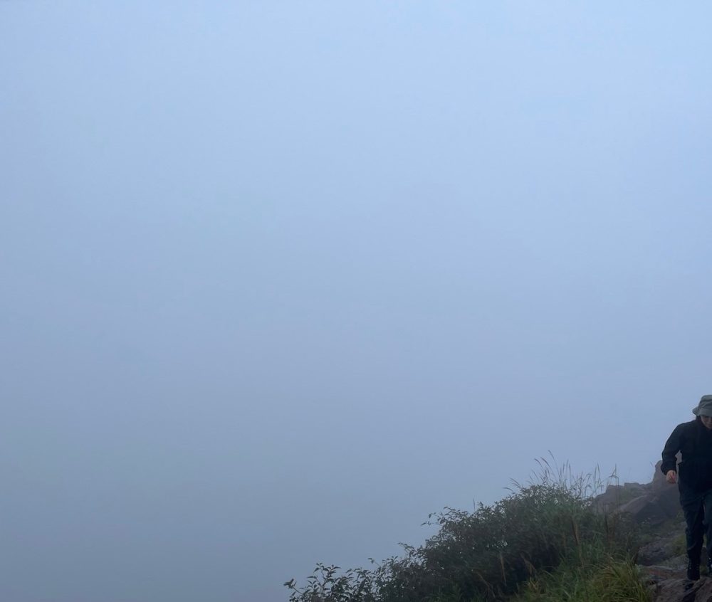
As we continued on, we reached a rocky area. This section of the trail is commonly known as the “Baka Ridge,” notorious for its challenging rock formations where you have to scramble over boulders taller than yourself. On this day, the poor visibility made the heights less intimidating, but I can imagine that on a clear day, the height would be quite apparent—and likely a bit scary, causing your legs to wobble!
Around 9 AM, as we got closer to the summit, the sun finally peeked through the clouds!
As my eagerness to reach the top grew, the steepness of the mountain also became more daunting.
After taking a moment to catch my breath, I turned around and was greeted by an absolutely breathtaking view behind me!
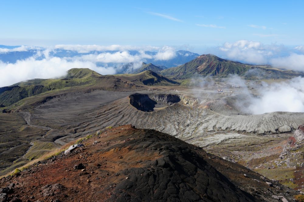
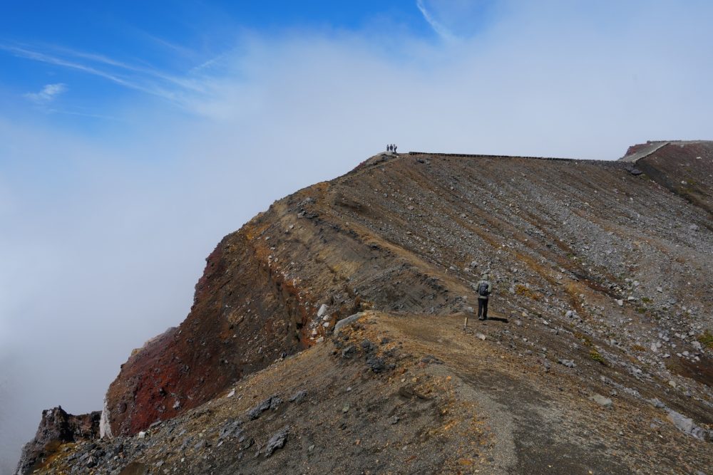
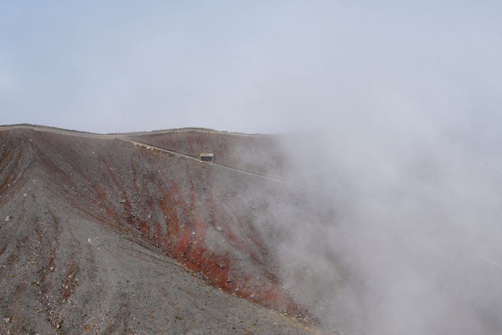
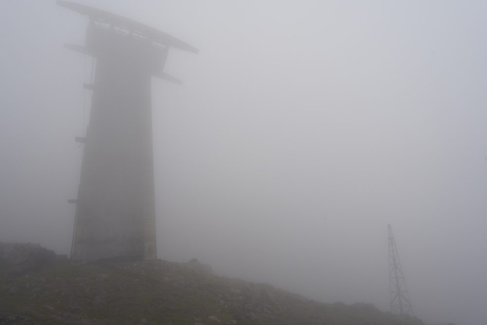
A stunning sea of clouds. Seeing such a reward makes all the fatigue disappear! ♡♡ After climbing through the mist, the sense of accomplishment is even more profound. Now, we’re just a little bit away from the summit—let’s keep pushing onward! Around 9:40 AM @ Takadake Summit We’ve conquered the first peak! Unfortunately, I missed getting a photo of the summit marker (-_-;), but we definitely made it to the top. The area near the summit is spacious and open, providing a great spot to relax. The view is absolutely stunning! Now, let’s continue on toward Nakadake! Around 10:15 AM @ Nakadake Summit We’ve conquered the second peak! Although the blue hot spring in the Nakadake crater was obscured by fog (or smoke?), the entire crater was clearly visible. While the crater viewing area offers a great perspective, I also recommend taking in the view from this higher spot! Once you move from Takadake to Nakadake, you’ll notice the differences in the geological layers and vegetation. The surface of Nakadake, with its striking contrasts of red, brown, and black, is particularly beautiful. I also spotted large, round clumps of moss that looked like giant marimo. Observing the vegetation and geological layers while walking is quite fascinating. Next time, I’d love to bring a book along for a deeper exploration! ♪ We headed back to the Sensuikyo parking lot via Uma no Se, the Eastern Crater Viewing Point, and the Suzume Rock junction. Along the way, we came across the remains of an old cable car station that is no longer in use. The cable car supports rising out of the mist created a truly surreal atmosphere. Around 11:30 AM @ Sensuikyo Parking Lot Descent complete! Our total hiking time was about four hours, and I think this loop around Takadake and Nakadake, including a visit to the crater, is incredibly rewarding. At this time of year, the chances of seeing a sea of clouds are high, so you might also get to enjoy similarly enchanting views! ♪ Next time, I plan to hike Nakadake from the Kusasenri area. Until we meet again in the next blog post! Ando